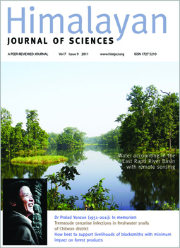
A remote sensing-based approach for water accounting in the East Rapti River Basin, Nepal
DOI:
https://doi.org/10.3126/hjs.v7i9.5785Keywords:
water accounting, remote sensing, SEBAL, evapotranspiration, rainfall surplus, evaporative depletion, East Rapti River basinAbstract
Accurate estimates of evapotranspiration across different land uses are a major challenge in the process of understanding water availability and uses in a river basin. This study demonstrated a remote sensing-based procedure for accurately generating evaporative depletion and runoff in mountainous areas using Landsat ETM+ images combined with standard hydro-meteorological data. The data was used as a key input into the International Water Management Institute (IWMI)’s water accounting procedure to understand how water is now used, and opportunities for improvements in the future. We found a higher annual actual evapotranspiration from the riparian forest than from irrigated agriculture in the East Rapti River basin of Nepal. Another important finding of our study is that simple rainfall surplus can be a good predictor of river flow at an ungagged site of the East Rapti River basin. The water accounting analysis revealed that there is the potential for further development of water resources in the East Rapti River basin as only 59% of the total available water is depleted. A critical analysis of social and ecological flow requirements downstream is necessary before any development of water resources upstream. This study successfully demonstrated that the key inputs required for evaluating and monitoring the overall water resources conditions in a mountainous river basin can be computed from satellite data with a minimal support from ground information.
DOI: http://dx.doi.org/10.3126/hjs.v7i9.5785
Himalayan Journal of Sciences Vol.7 Issue 9 2011 pp.15-30


