Surveying and Mapping in Nepalese Context
Keywords:
Surveying and mapping, data acquisition and dissemination, cadastral survey, geodetic survey, topographical survey, landuse mapping, land informationAbstract
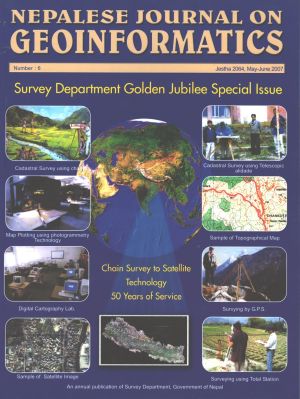
Surveying and mapping is indispensable for the development of any country. In our context, the history of the development of surveying and mapping is gradually marching with the pase of global technological development. This paper explores the various components of Surveying and Mapping history and activities in Nepal e.g. Cadastral, Geodetic, Topographical, HRD, Land Use, NGIIP, DoLIA.
Downloads
Published
How to Cite
Issue
Section
License
© Copyright reserved by Survey Department, Government of Nepal
This license enables re-users to distribute, remix, adapt, and build upon the material in any medium or format, so long as attribution is given to the creator. The license allows for commercial use. If you remix, adapt, or build upon the material, you must license the modified material under the same or a compatible license.
