Measurement of Height of Mt. Sagarmatha
Keywords:
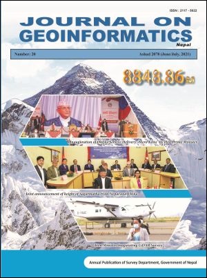
Sagarmatha, Orthometric Height, Joint AnnouncementAbstract
The height measurement of the highest peak of the world “Sagarmatha” was conducted by Nepal for the first time. The methodology for the measurement was finalized from the workshop held in Kathmandu with the constructive comments from national and international experts. Trignometrical levelling, precise levelling, GNSS survey and gravity survey was conducted. Previous air borne gravity data and present surface gravity data was used to determine the precise regional geoid for this program. Thus orthometric height was determined as 8848.86 m from the ellipsoid height observed at the top of Sagarmatha and precise geoid determined. The height was determined on the base of International Height Reference System (IHRS) and final height was announced jointly from Nepal and China on 8th of December 2020 from Kathmandu and Beijing through virtual media.
Downloads
Published
How to Cite
Issue
Section
License
© Copyright reserved by Survey Department, Government of Nepal
This license enables re-users to distribute, remix, adapt, and build upon the material in any medium or format, so long as attribution is given to the creator. The license allows for commercial use. If you remix, adapt, or build upon the material, you must license the modified material under the same or a compatible license.
