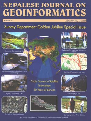
From Cadastral Survey Plan to Geographic Information Infrastructure: Fifty Years of Evolution of Geo-spatial Data Policy in Nepal
DOI:
https://doi.org/10.3126/njg.v6i1.51227Keywords:
cadastral survey, GII, geospatial data policy, NepalAbstract
The golden jubilee celebrations of Survey Department correspond with the golden jubilee of periodic planning in Nepal. The First Plan in Nepal was initiated in 1956 and the year 2007 coincides with the completion of the Tenth Plan. In this paper an overview of the ten periodic plan documents have been made to look into the evolution of the surveying/ mapping and geo-spatial data policy and a growth of Survey Department as a cadastral survey office to a NMA to the hub of NGII in Nepal.


