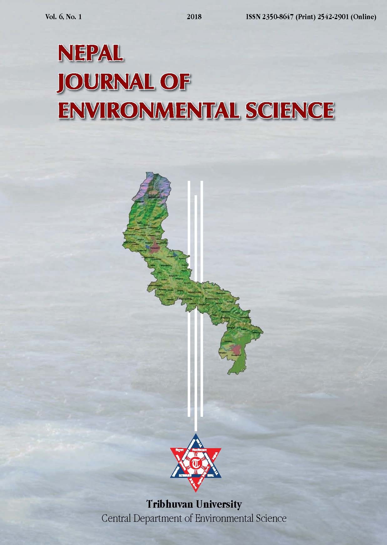
Climate-induced vulnerability assessment: A case of Seti River corridor, Central Nepal
DOI:
https://doi.org/10.3126/njes.v6i0.30122Keywords:
Climate-induced hazard, Disaster risk reduction and management, Multi-criteria based vulnerabilityAbstract
There are greater consensus among the climate scientists that the global warming and associated climate change has triggered the hazards and increased community vulnerability in the recent years. As river corridors are the active resources and energy flow regimes, the vulnerability concentrated along the river corridors are likely to hamper the regulatory mechanisms of biological, physical and anthropogenic systems. This paper focuses on multi-criteria based vulnerability mapping along the Seti River corridor. For the purpose, different physical and social parameters like altitude, aspect, slope, climatic condition, land-use and land-cover, and population distribution and its demographic characteristics were used. All measurable parameters were assigned with intensity of occurrences of impact factor according to their respective scales. The domination of those impact factors was measured with respect to the total area of Village Development Committee/Municipality scale (the lowest administrative units). The sum of the computed value was classified in five-point scale in relative degree of severity, i.e. very high, high, medium, low and very low. The integration process was based on GIS Environment and all the data were spatially referenced. The results show up-stream region of the corridor is at higher risk, where 5.1% of the total area is under the very high category. The mid-stream area covers 2.2% under very high category, and none of the down-stream area falls within this category. The combination of both physiographic complexities and human activities determines the vulnerability of the landscape. The outcome of the mapping is recommended for adoption during disaster risk reduction and management and climate change adaptation practices at the community level.
Downloads
Downloads
Published
How to Cite
Issue
Section
License
Copyright (c) 2018 Central Department of Environmental Science, Tribhuvan University

This work is licensed under a Creative Commons Attribution-NonCommercial 4.0 International License.
This license enables reusers to distribute, remix, adapt, and build upon the material in any medium or format for noncommercial purposes only, and only so long as attribution is given to the creator.

